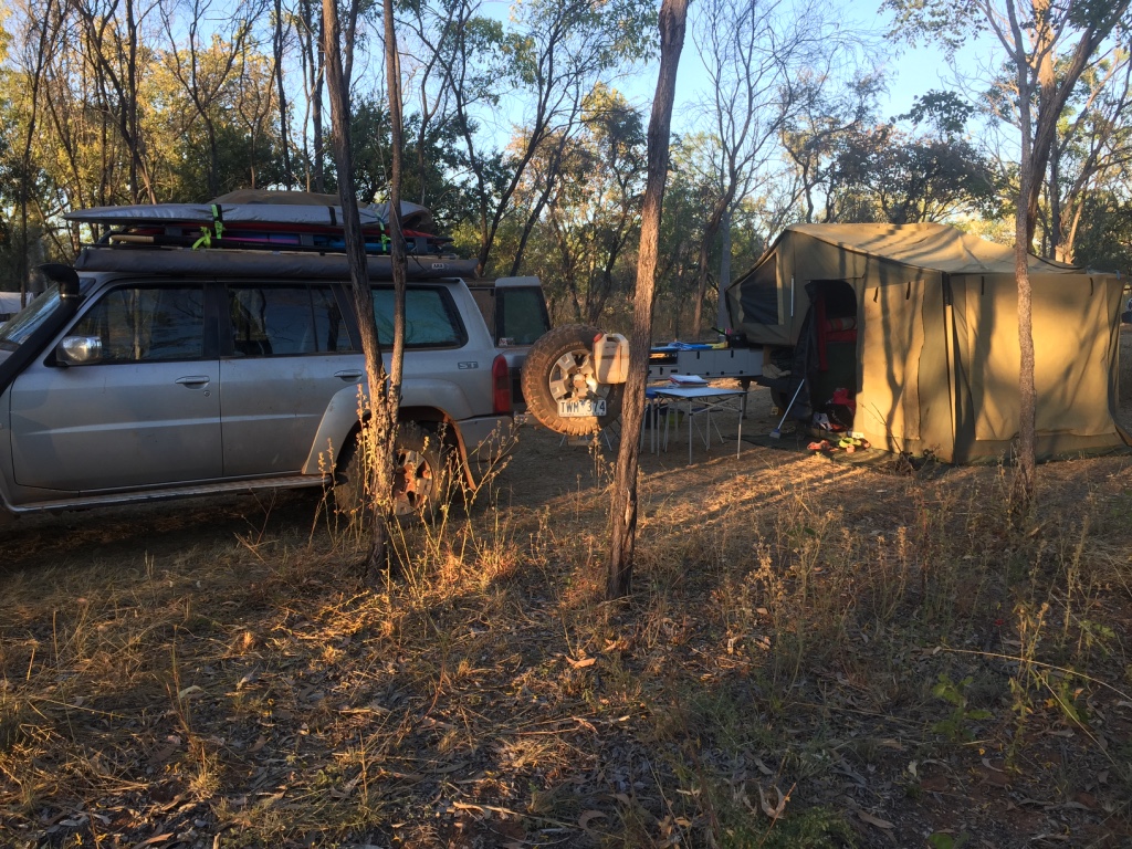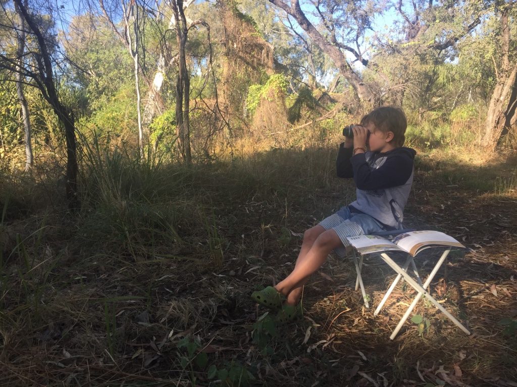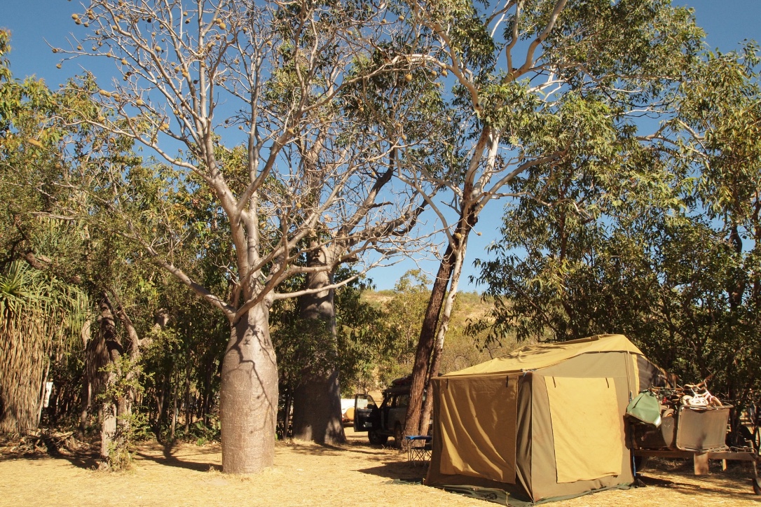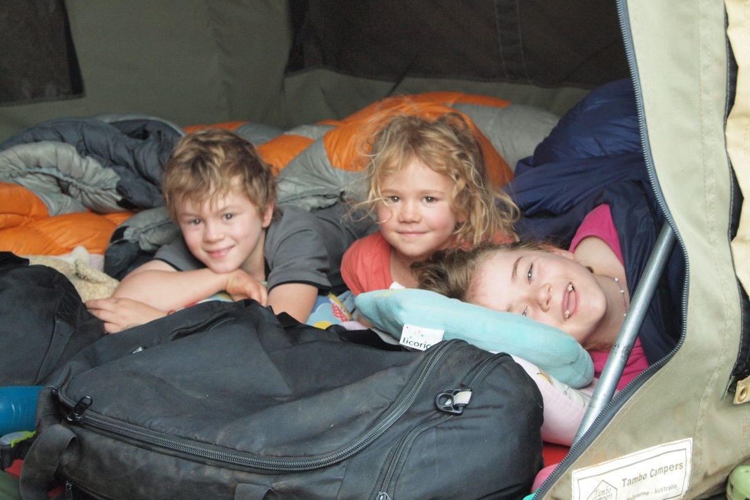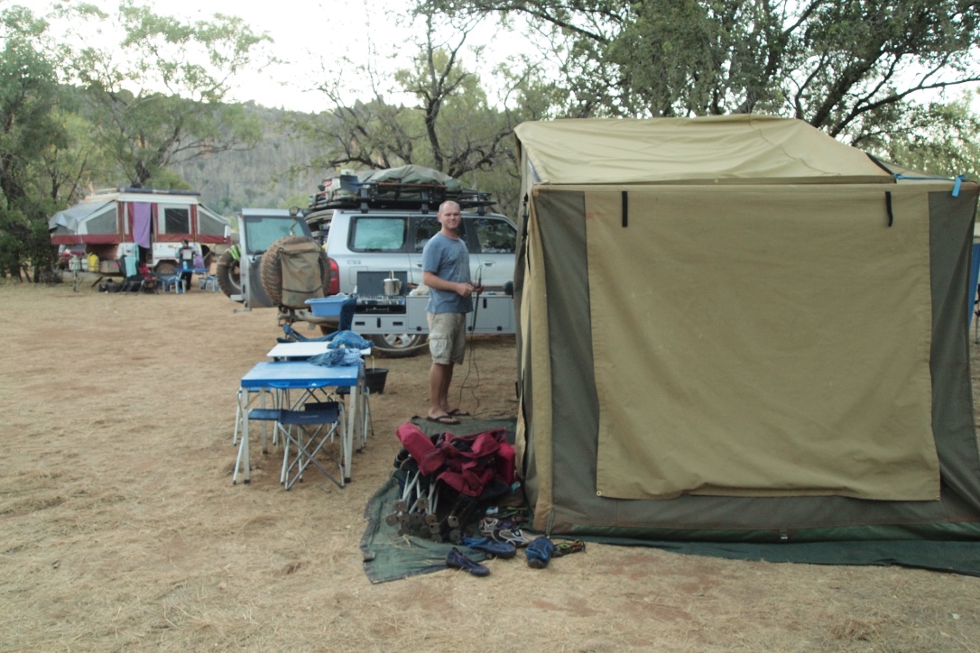

Mt Elizabeth Station was our next stop on the Gibb but only a one night stop over to access the Munja Track. The camping at Mt Elizabeth station is well spread out with nice grassy sites and some large shady trees we had a great spot in the corner where we could watch some wallabies jumping thru the bush.

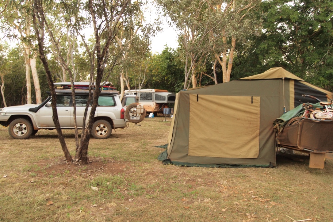
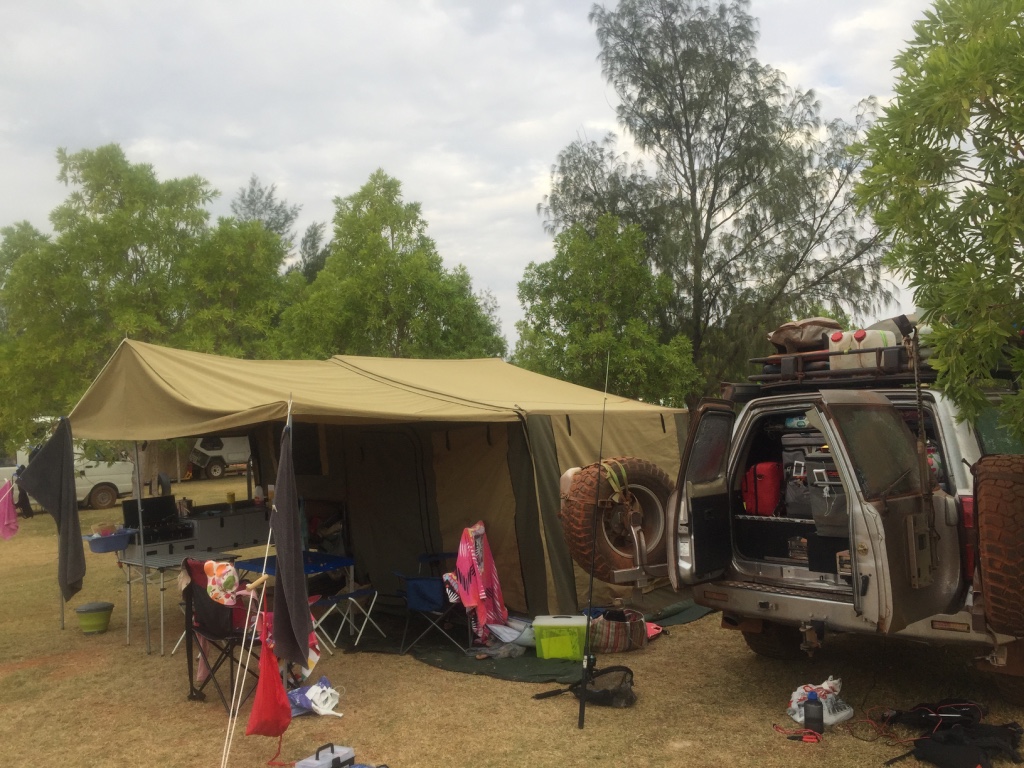
Our camp at Mt Elizabeth
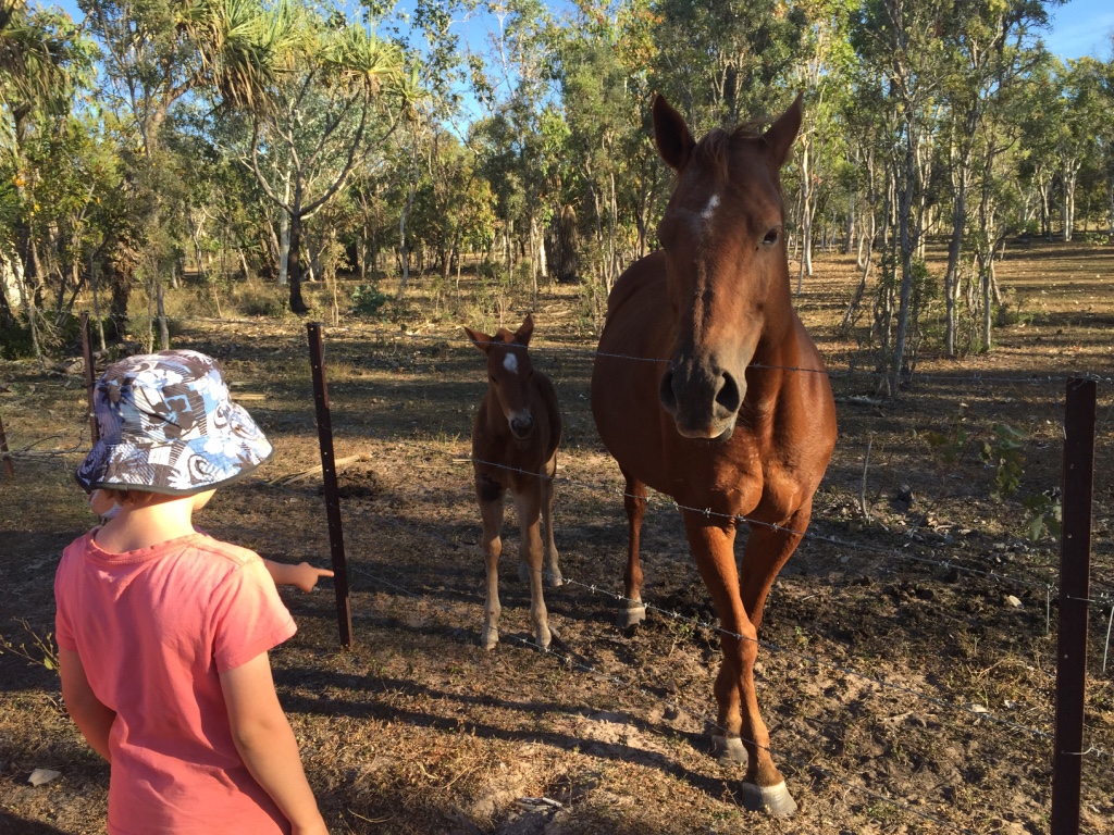
The highlight at Mt Elizabeth was a horse and her gorgeous two week old foal. We didn’t have any veggies or fresh fruit to share with the horse – but they loved our apple cores. We only camped one night at Mt Elizabeth before heading off onto the Munja track.

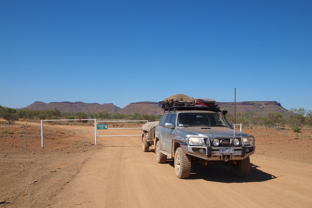
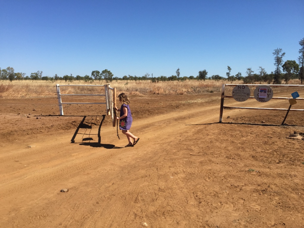
After paying our fee for access to the track we received the track notes and key to the gate and head off on an adventure down the remote Munja track.

The gate into the Munja Track
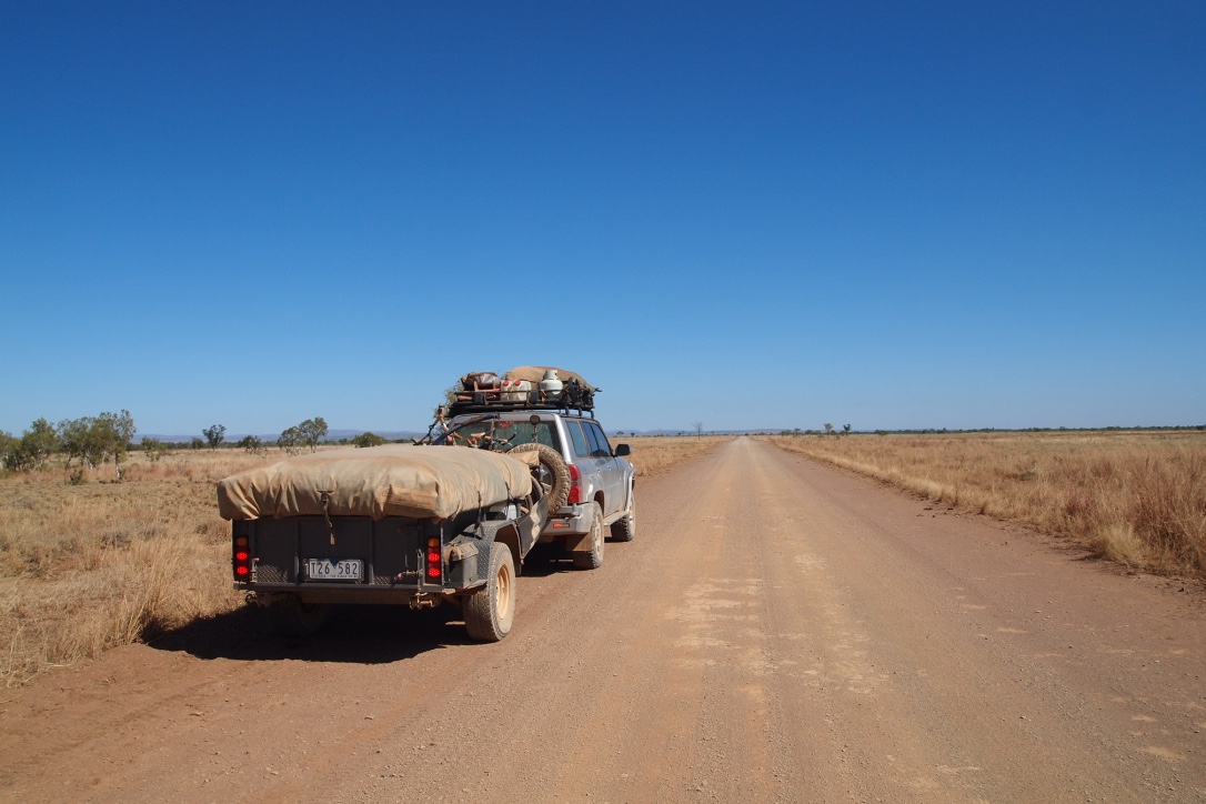
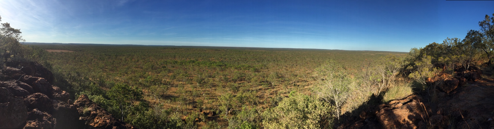
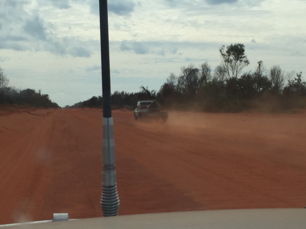
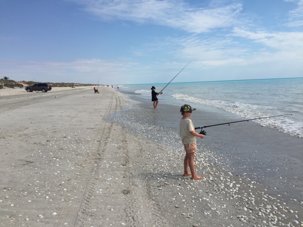
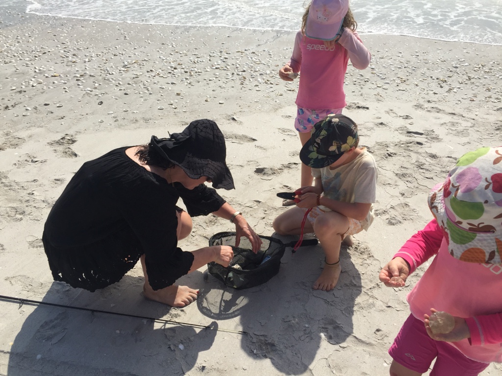
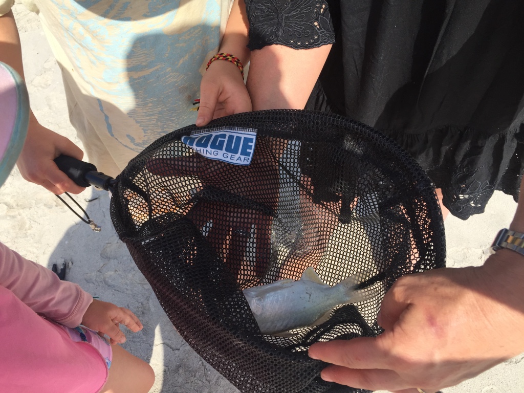
Being four wheel drive enthusiasts we were keen to get off the tourist trail and onto a real ‘off road’ track. The Munja track is a 480km 4×4 track from Mt Elizabeth station following the Calder River over rocky hills and down to Walcott Inlet where the Calder, Charnley and Isdell rivers meet the ocean. We were told “there is nothing much down there unless you like to fish” but we wanted to visit for the view and the journey.
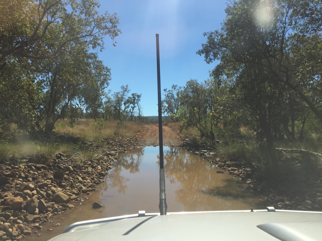
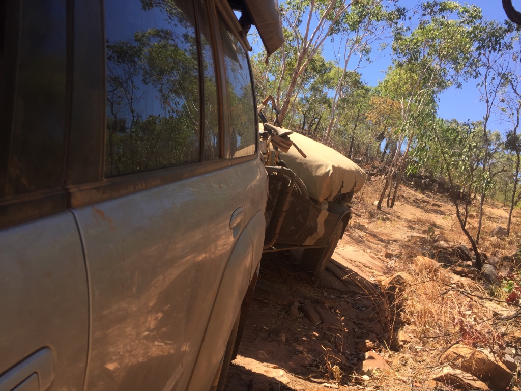
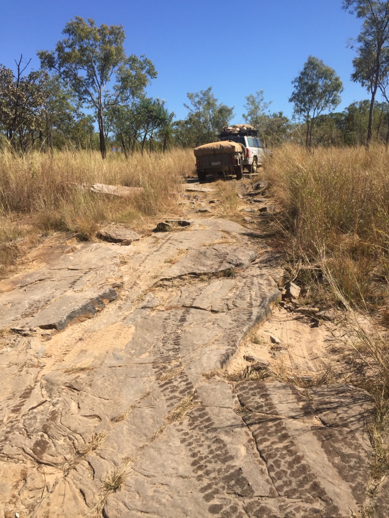
The track is recommended for high clearance 4×4 and off road campers only as parts are considered very difficult and rocky, there are multiple river and creek crossings and jump ups…according to the track notes…we weren’t quite sure what these entailed…but we would soon find out.
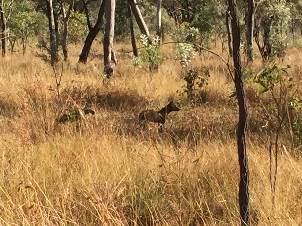
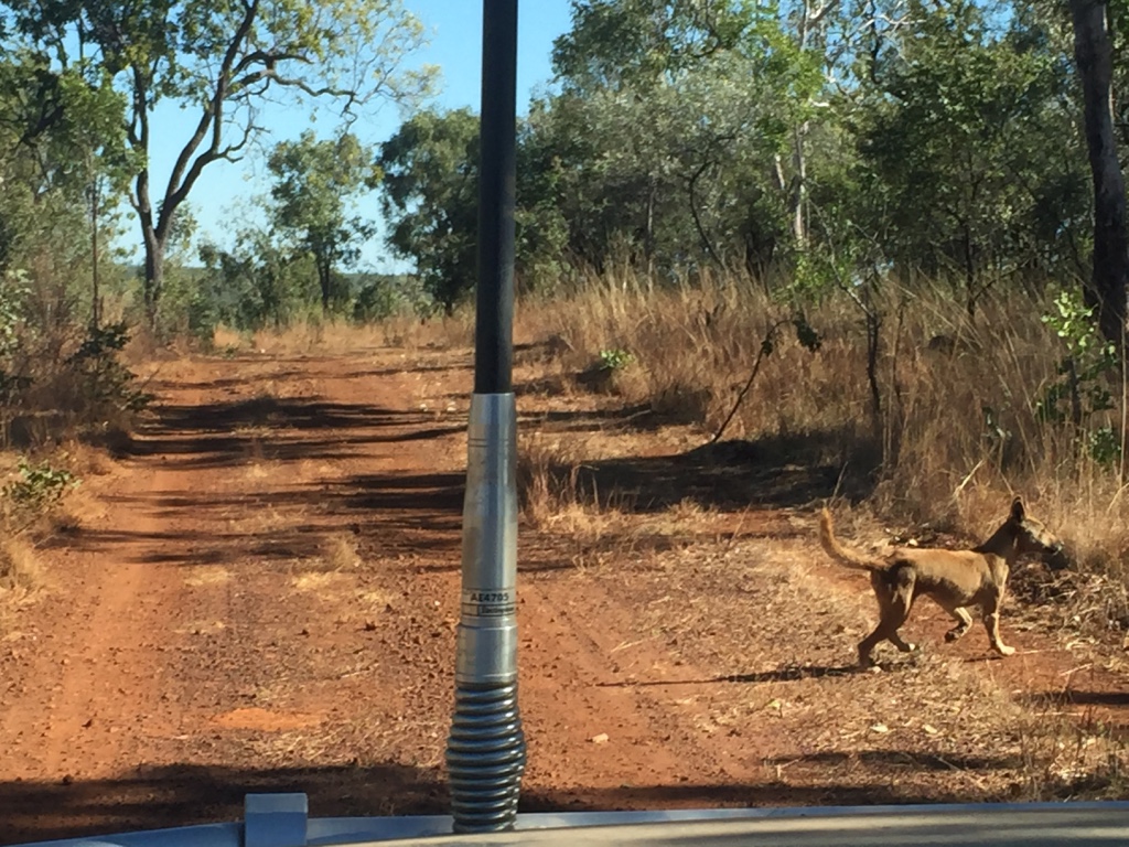
The first part of the track follows the station fenceline and not far along we met up with a dingo who ran along ahead of us for 5km we stopped to let him run off but he stayed on the track until finally jumping the fence.

The Munja Track covers across the Ngarinyin Country and we are so grateful for the opportunity to visit and enjoy this country.
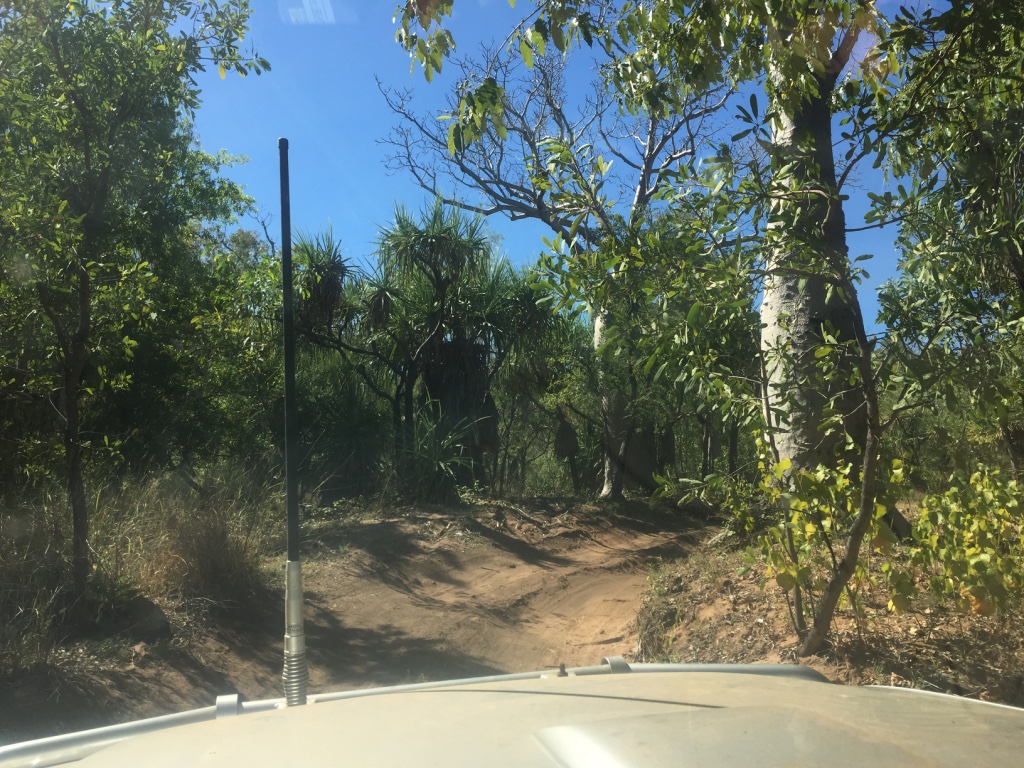
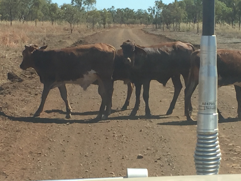
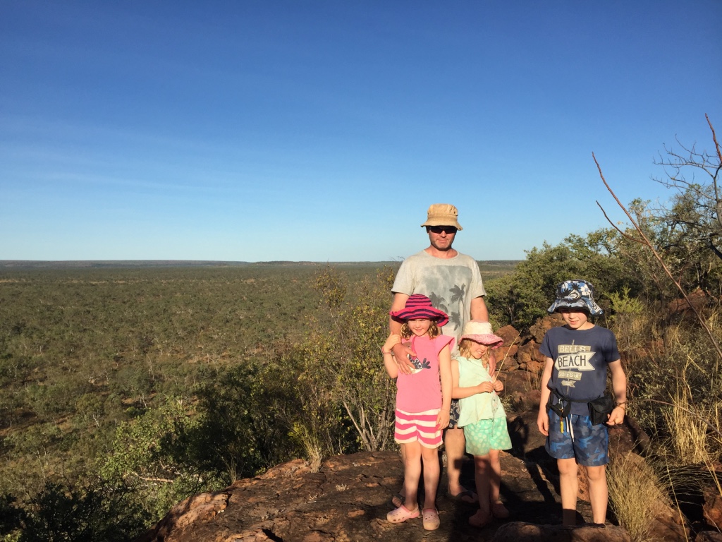
The track passed thru some beautiful countryside and there were lots of rocky out crops and interesting rock formations along the road. There were also lots of cattle grazing and lying around and some intimidating looking bulls with huge horns. They would sometimes stand on the track giving us a stern look but they quickly ran away as the Patrol’s bull bar approached.

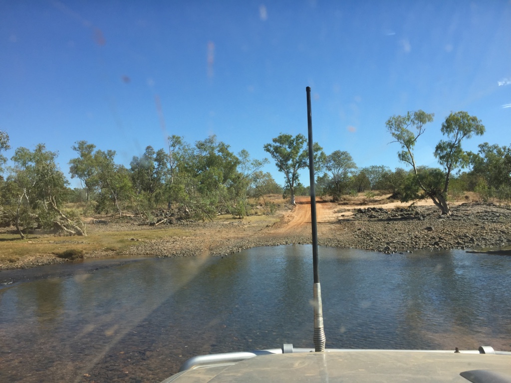
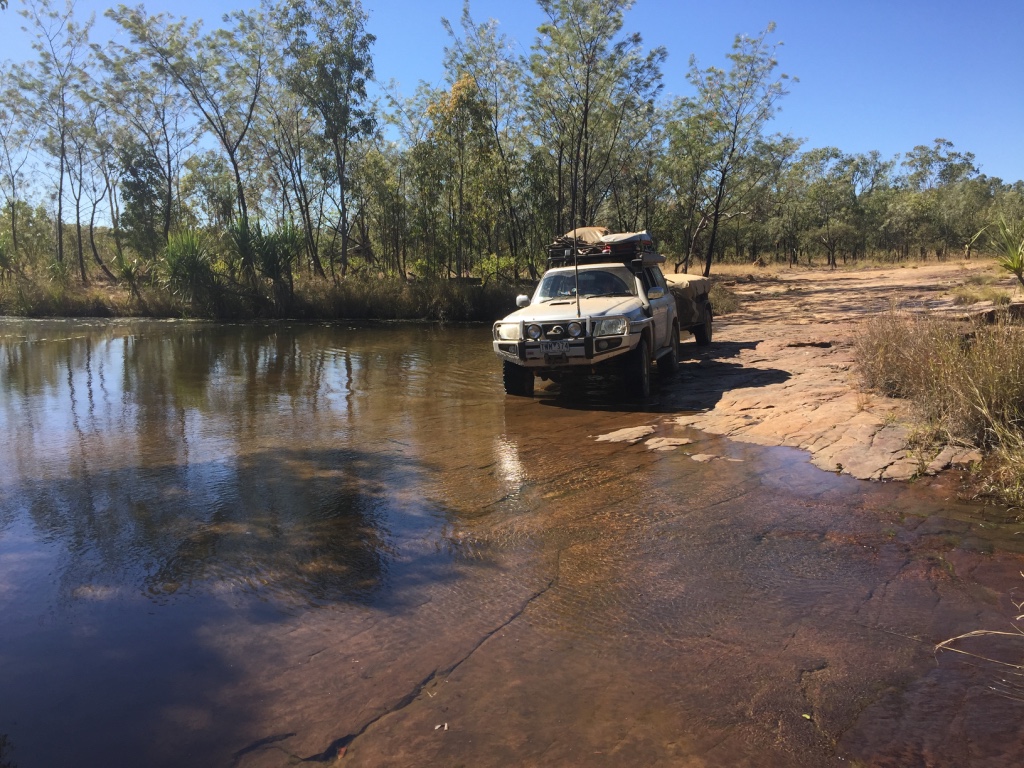
creek crossings
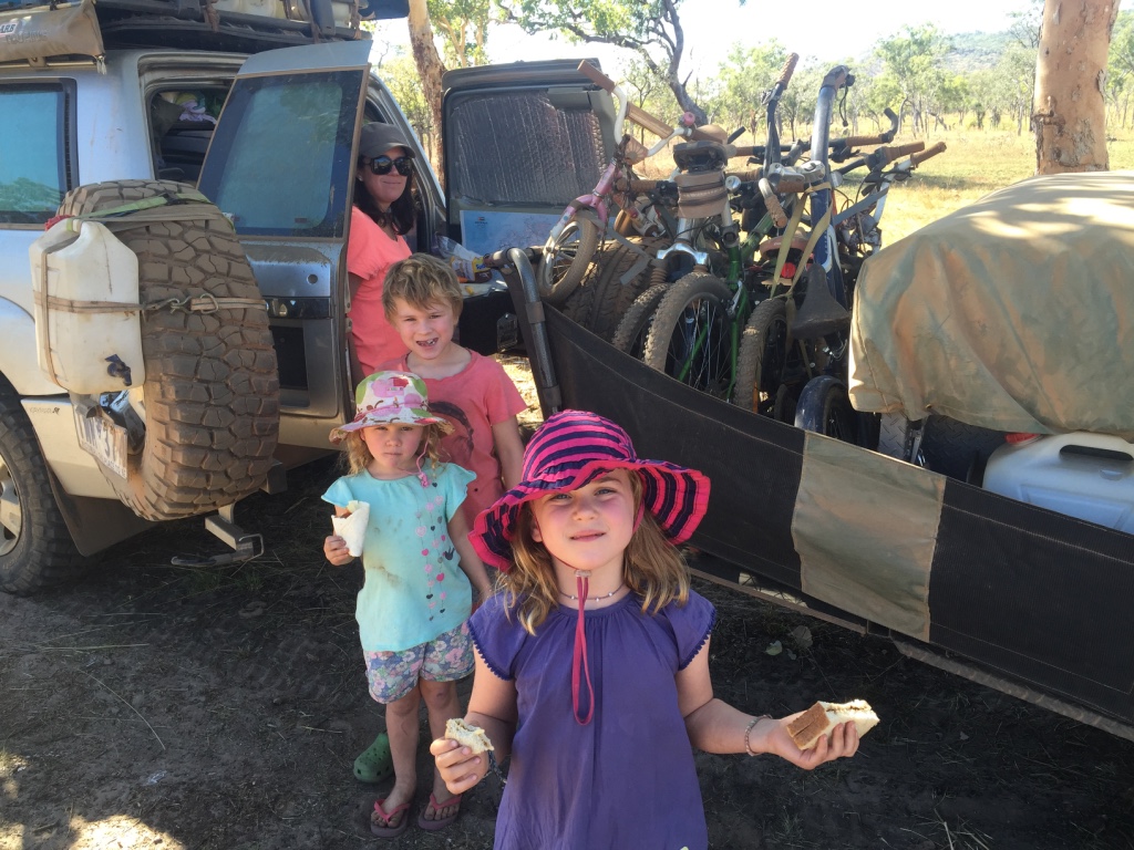
Lunch from the back of the Patrol
After a few creek crossings, a muddy tropical patch and got to the first jump up called ‘Magpie Jump-Up’…this was a steep rocky climb which curved around the hillside some patches looked daunting but the Patrol just crawled along in low range 1st and Tambo followed. (thankfully) We were averaging about 10km an hour, enjoying the scenery with some easier track between the rough rocky sections.
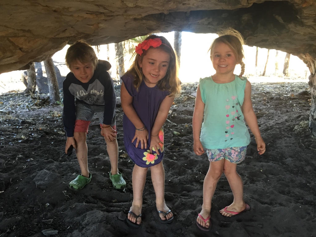
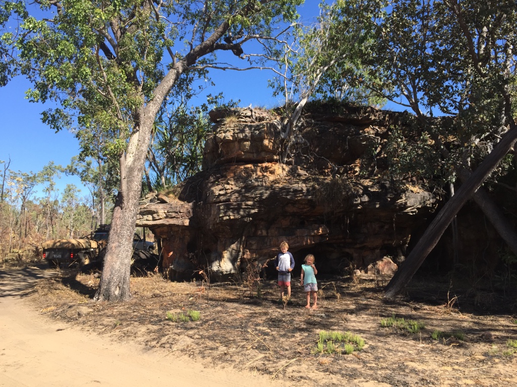
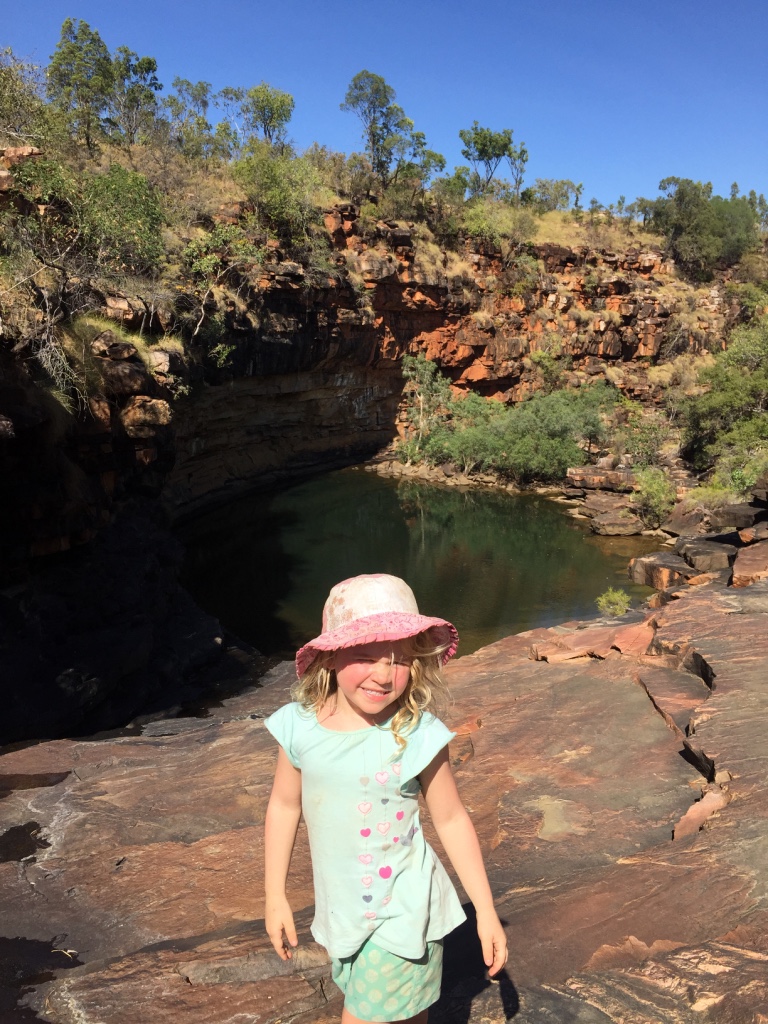
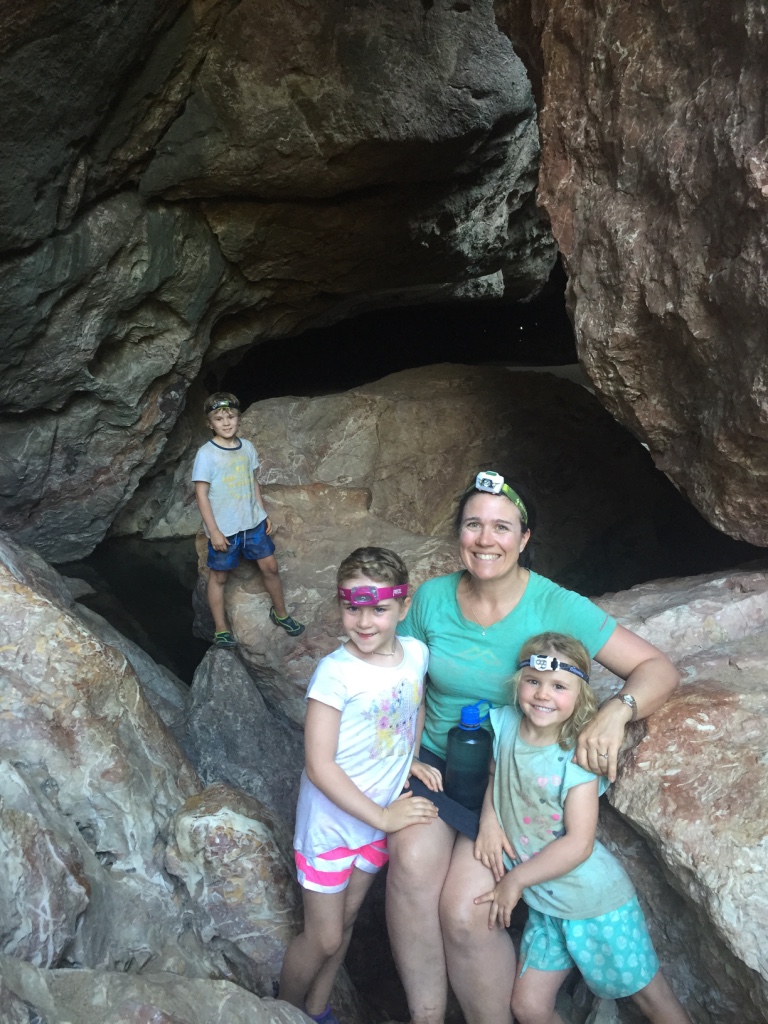
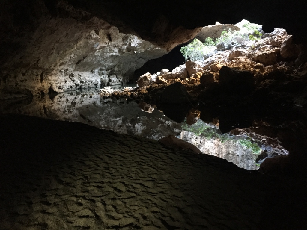
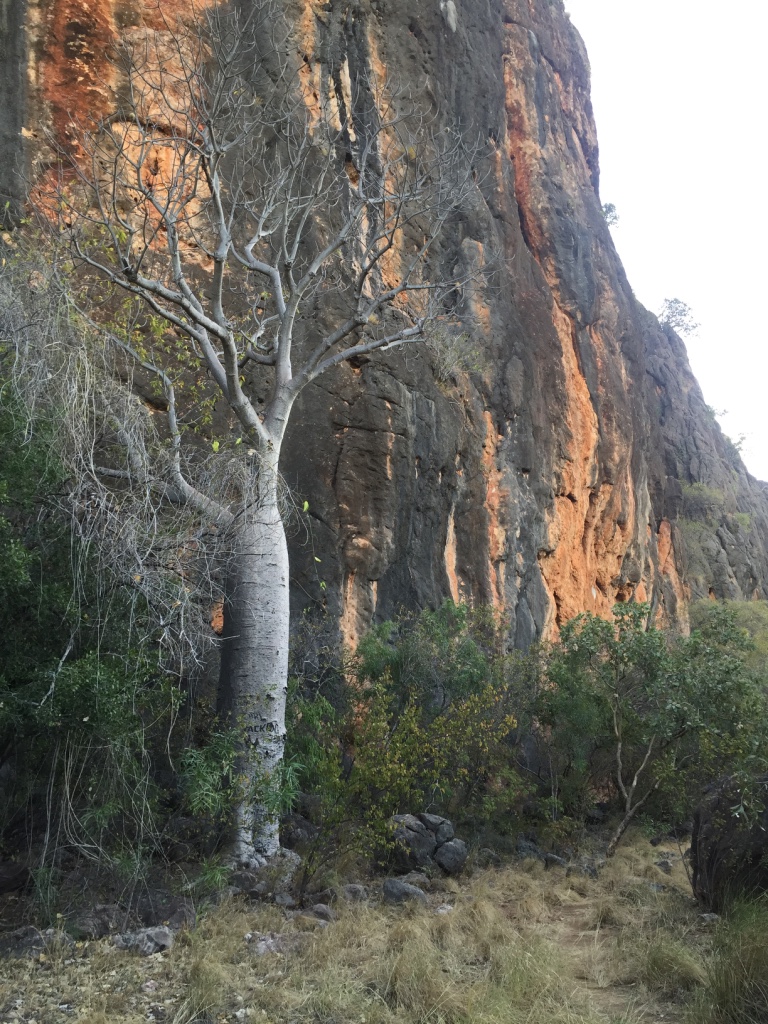
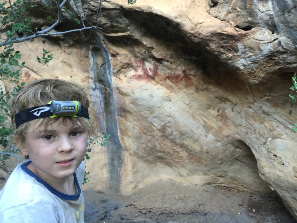
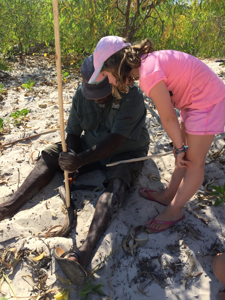
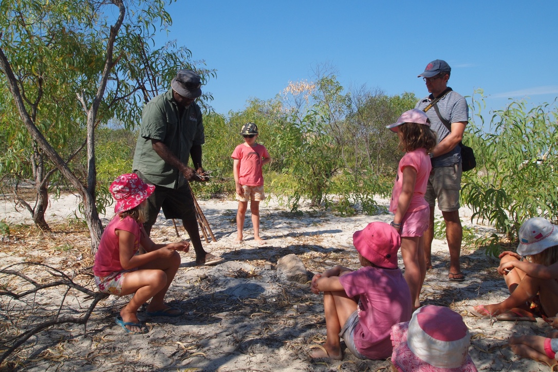
Along the bumpy track we stopped to look at some rocks and caves and found indigenous rock art. The Kimberley has so many beautiful locations with fresh water creeks and billabongs it is no wonder that it was home to many indigenous communities and the evidence of their ancestors and culture is recorded on so many rocks. At our lunch spot we met a man who has helped open the track over the last few years and he directed us to some fabulous rock art.

Amazing rock art on rocks just off the track


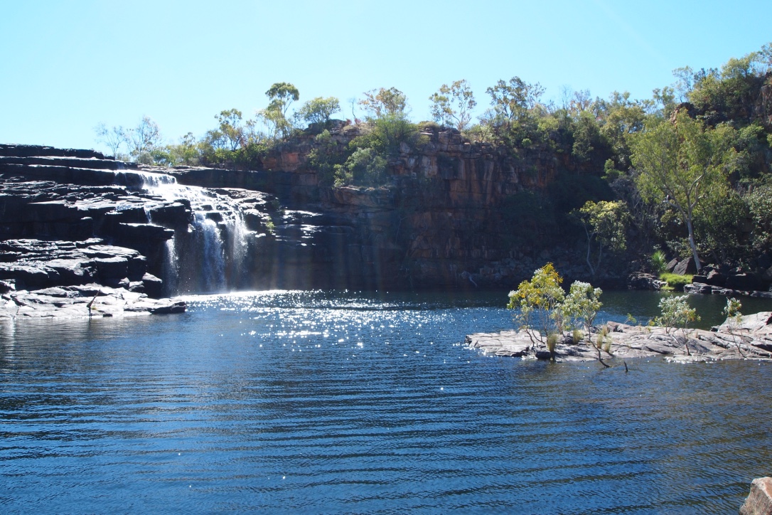
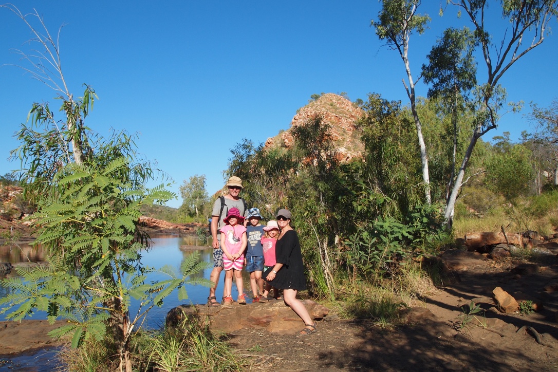
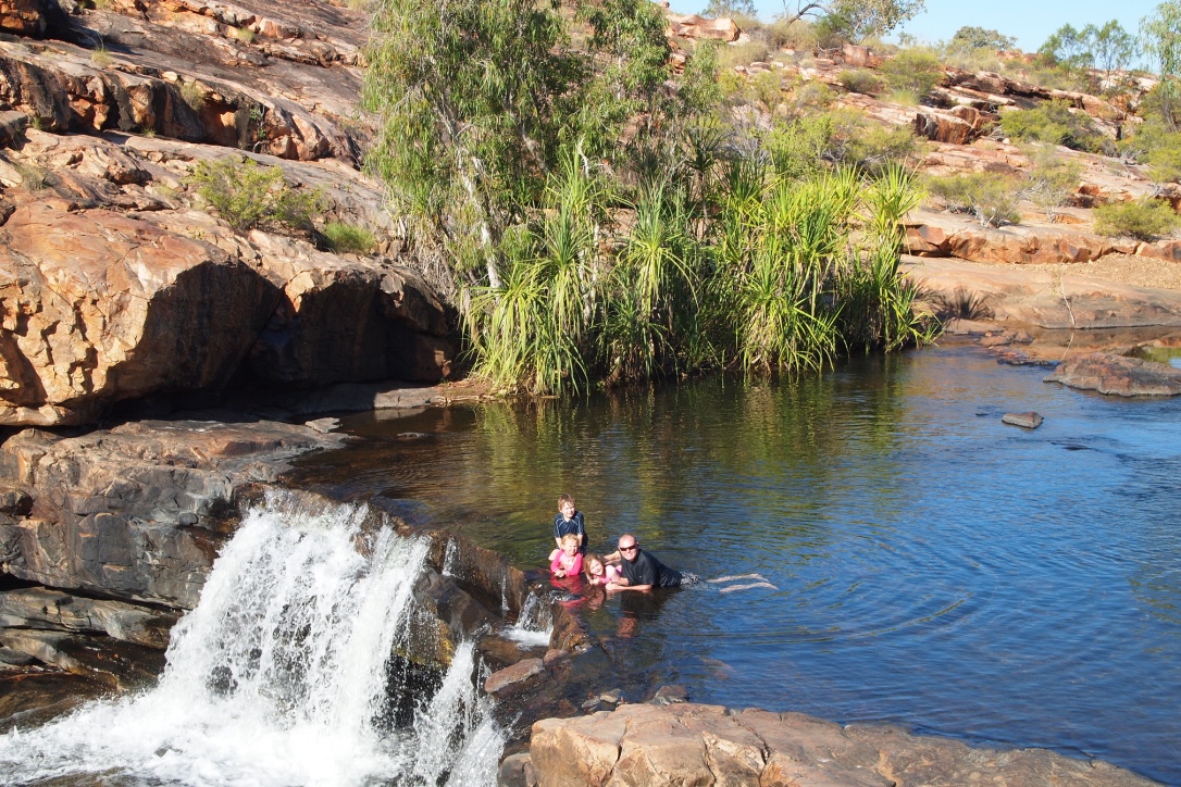
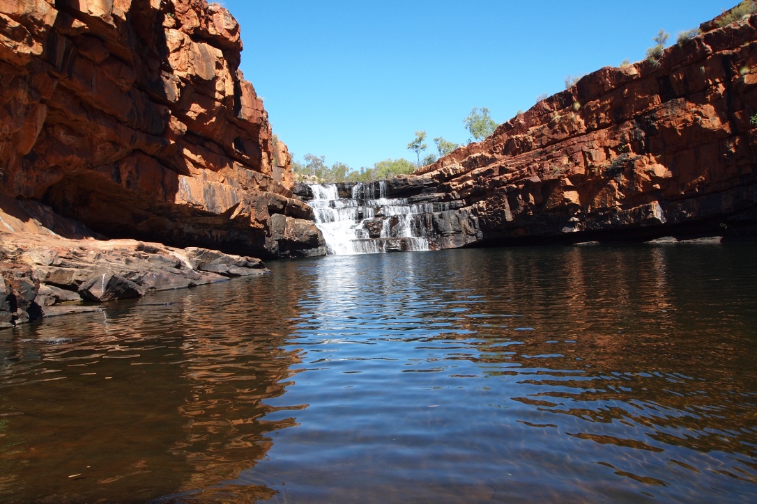
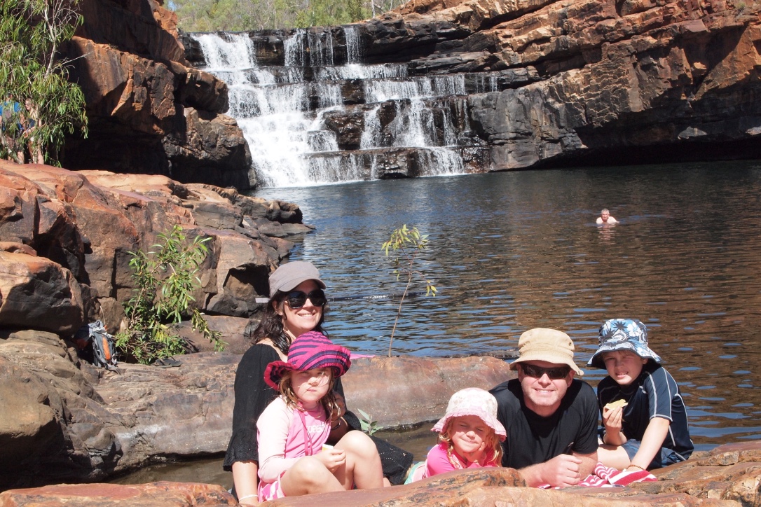
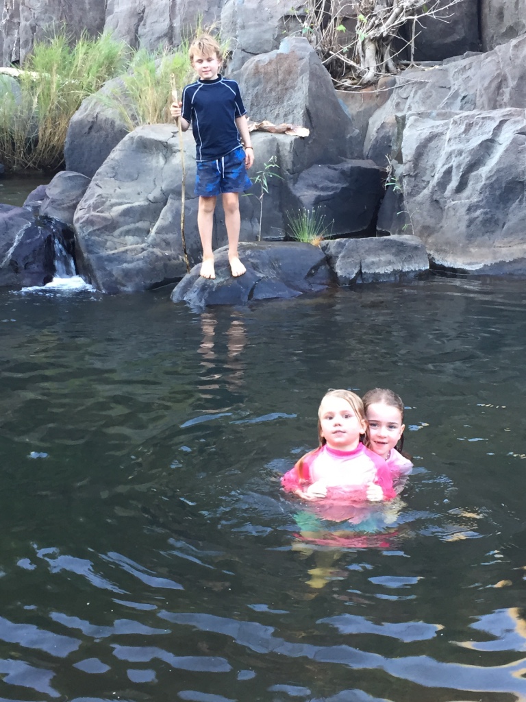
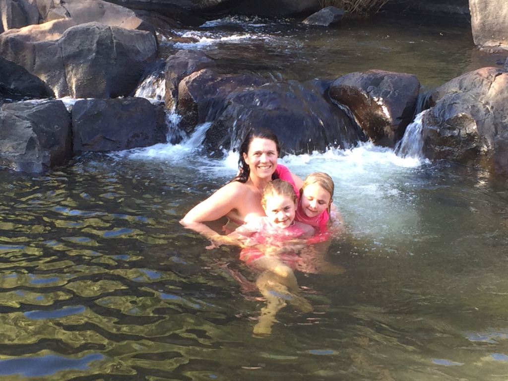
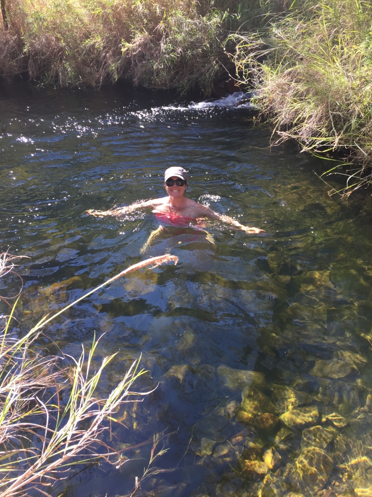
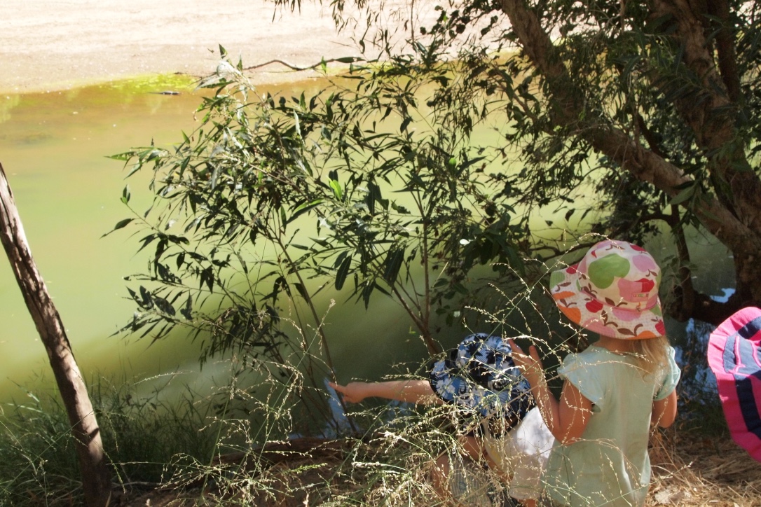
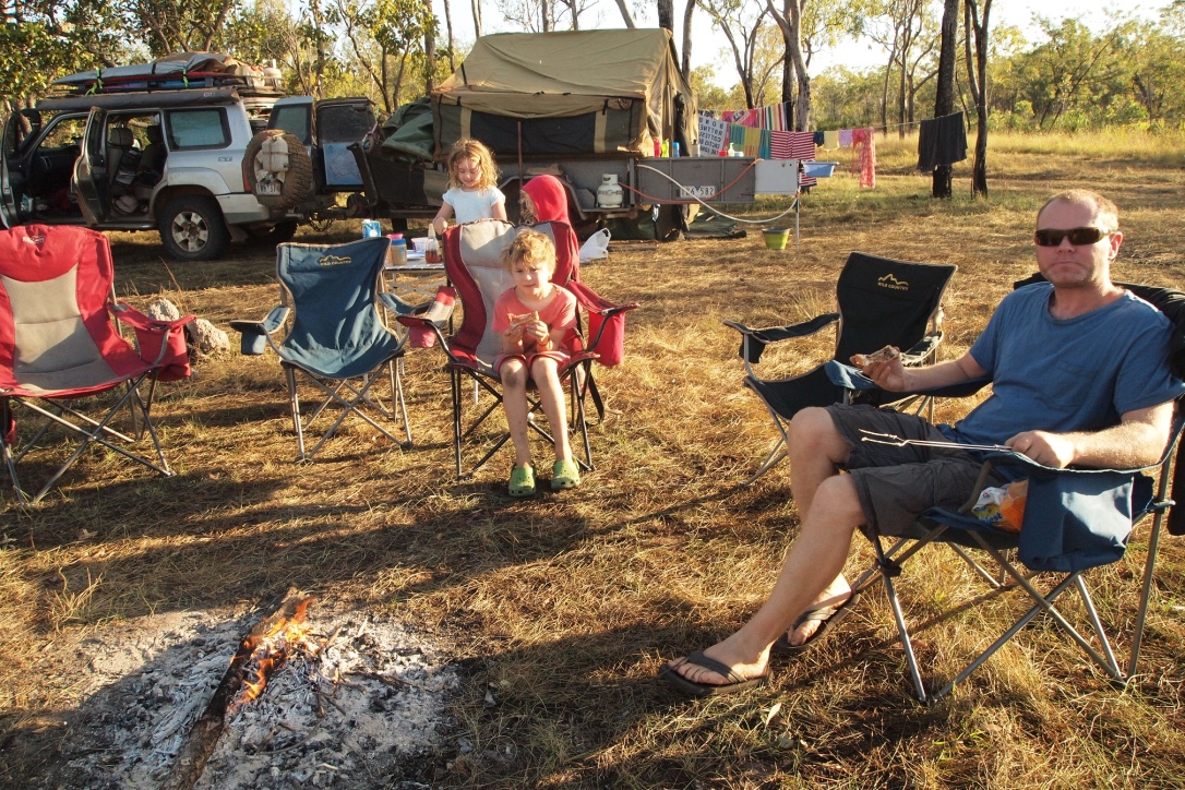
After quite a big day driving we decided to stop and camp at Pearson’s Creek just in time to have a swim in the last of the afternoon sunshine. The creek was shallow but a pleasant enough dip after most of the day driving. We set up camp whilst the kids collected wood for the fire. There was only us and one other couple camped along the creek – we felt a bit guilty about spoiling their serenity with our three kids!
Pearsons Creek camp
It was great being back in the bush without the crowds. We all enjoyed early dinner and marshmallows by the fire. Our neighbours Peter and Linda came over for a drink and a chat after the kids went to bed.